 |
| Heart's Content Light |
Heart's
Content to New Perlican
Rating: Easy, Less than 5 km, 1.5 hours
Start: Lighthouse on North Point Road in Heart's Content
End: Vitters Cove Road by town council office in New Perlican
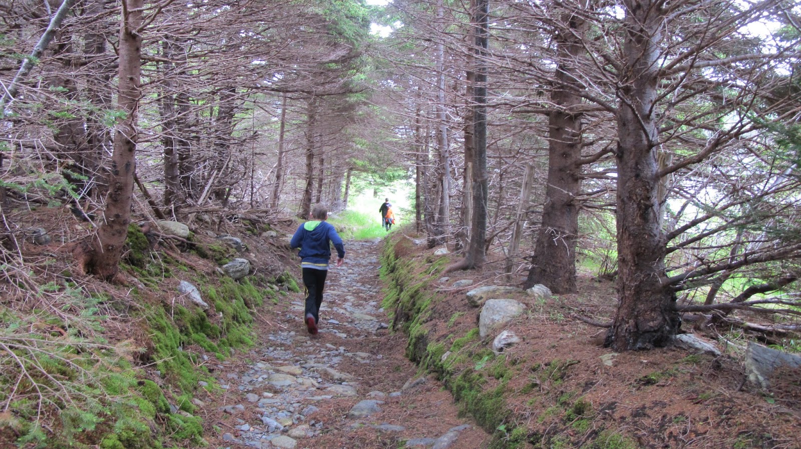
1hr 10 minutes from lighthouse to duck house, 20 minutes from duck house to New Perlican light station


A picnic at the lighthouse is a great way to
start a day on the trail. Pass by Garlop Point and pick more blueberries
than you can carry out in August and September.
Save time to visit the Cable Station, a Provincial Historic Site, on the main road in Heart's
Content. This is where the first successful trans-Atlantic communications cable landed in 1866.
  |
| TransAtlantic cables still visible on the beach in Heart's Content in front of the cable museum |
Within New Perlican
Rating: Easy , 1 km. 20 minutes
Start: Gut Road, New Perlican
End: Bloody Point at end of Harbour Road, New Perlican
New Perlican has the most beautifully painted fishing stages. Bring your
camera.

 New Perlican to Turks Cove
Rating: Easy
2.75 km. 1 hour
Start: Main road north of New Perlican next to Welcome to New Perlican
sign
End: Turks Cove Road on south side of the harbour
1.14 km, 20 minutes to platform
1.18 km, 30 minutes to Jean’s Head
2.75 km, 55 minutes to turn off to Turk’s Head Look-out


Turks Cove to Winterton
Rating: Easy, 4 km. 1 hour, 15 minutes
Start: End of Coates Road in Turks Cove
End: Point Road in Winterton
As soon as you head in on the trail at the end of Coates Road you come to a
fork, keep right (ie don`t take the quad trail, although we did and had a
lovely view of the coast); rather take the Sugarloaf Trail sign and follow
the birdhouses. You go up and down several steep sets of stairs, across
boardwalks over bogs. Next fork keep left. Then when you meet the red path
that leads up to Winterton Lookout and you are close to Outside Pond Park.
Keep your eyes peeled for eagles.
North to South
Go up Old Road in Winterton and when that trail crosses the steep red path
up to The Lookout, go left at the bend in the path.

Winterton Sugarloaf Trail was developed and is maintained by the Town of
Winterton. This short hike of approximately half an hour begins across the
main road from Outside Pond Park and is a steep uphill on a dirt road with a
spectacular view of Trinity Bay at the top.
 |
| The chair rock on the way up the hill on the Sugarloaf Trail |
Winterton Lookout Trail is also maintained by the Town of Winterton. It
begins next to the huge playground structure at Outside Pond Park. A one-mile
boardwalk skirts Outside Pond and ascends the hill next to the trailer park.
Be sure to visit the Boatbuilding Museum in Winterton.
 |
| At Outside Pond Park you can take a dip or climb in spaceships |
Winterton to Hants Harbour
This stretch of trail is not developed.
 |
| Rock walls are scattered through the woods on the north side of Hant's Harbour |
 |
| The town of Hant's Harbour with the crab plant in the back right |
Hants
Harbour to New Chelsea

Rating: Easy footing, but trail has a steep rise, 3.1 km, 1 hour.
Start: Near Custers Head lighthouse on north side of Hants Harbour
End: Secret Beach (Myra's Beach) in New Chelsea on Point Road
The town of Hants Harbour maintains this trail.
400 m, 6
minutes in: Outhouse
758 m, 10 minutes in: Picnic table
1.13 m, turn off to look-out
1.48 m: Seal Point summit
75 steps down
1.85 km, 34 minutes in: plateau or rolling barrens
3km, 54 minutes in: outhouse
758 m, 10 minutes in: Picnic table
1.13 m, turn off to look-out
1.48 m: Seal Point summit
75 steps down
1.85 km, 34 minutes in: plateau or rolling barrens
3km, 54 minutes in: outhouse

Start at root cellar at the end of Custer`s Head Road. You’ll pass an outhouse just a few minutes in the trail and then a raised wooden platform with a picnic table.
 Then go up, up, up,
then doooown. Beautiful views. Much of this trail is on a wooded inland path
with red birdhouses every several hundred metres or so. Ample moose prints and
poop. After crossing the open barrens, you begin your descent into New Chelsea
passing a second outhouse just before you reach the road on a grassy path in
front of the church. Turn left on the road and continue down until you see a
sandy beach down over the cliff. The descent to secret beach is a bit tangly
with sharp shale and
springy seaweed beds but is well worth it. We once happened upon the caplin
rolling here so thick; my husband was fishing them up with a fir tree
branch.
Make sure to pack a picnic at have at Green Island Cove.
springy seaweed beds but is well worth it. We once happened upon the caplin
rolling here so thick; my husband was fishing them up with a fir tree
branch.
Make sure to pack a picnic at have at Green Island Cove.

New Chelsea to New Melbourne

This is a beautiful strenuous trail that is overgrown in spots. Plan for half a day and pack lots of snacks. Start at the dirt pull-out on the ocean-side of the road just north of New Chelsea. It's sometimes hard to pick out the correct fork and we ended up doubling back a couple of times. The trail opens up to a quad path and skirts the ocean near the end.


Awesome ..best d'Iberville Trail GUIDE available ..great work ..thanks
ReplyDeleteThanks so much, hard to find info!!
ReplyDelete